Parcel Tools is a high-performance Windows desktop application built specifically for professional land surveyors. Calculate complex parcel areas, manage survey points, and deliver polished reports — all in one place.
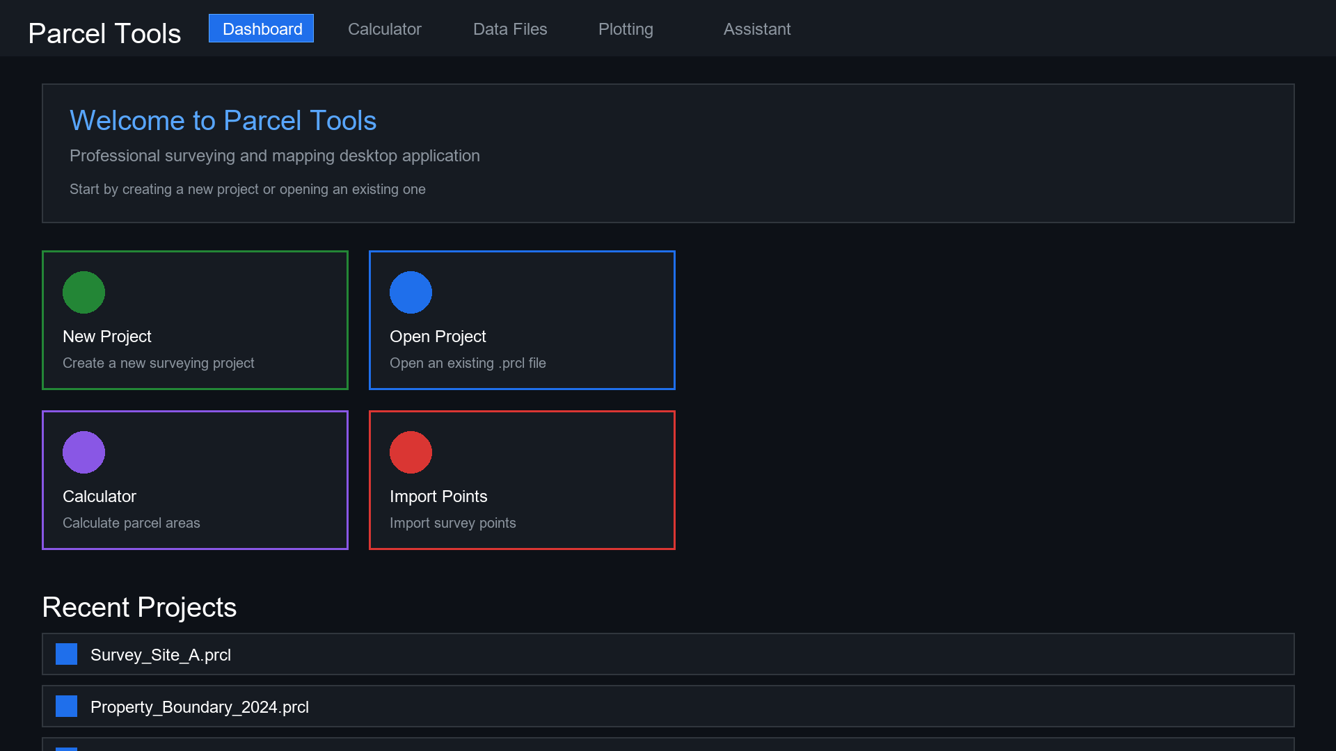
Purpose-built for land surveying professionals. Every feature is designed around real workflows, not hypotheticals.
Compute parcel areas with sub-centimeter precision. Handles arcs, curved boundaries, irregular polygons, and multiple coordinate systems — automatically.
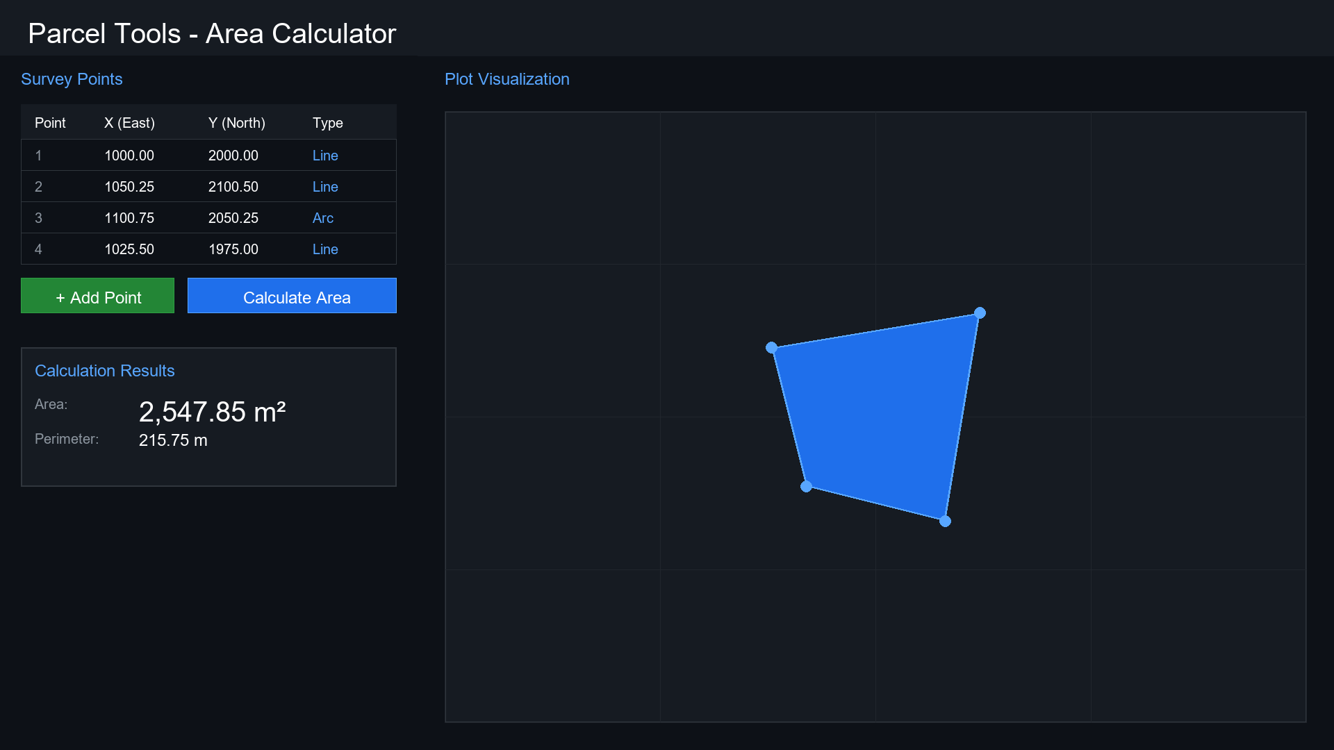
Enter a point and watch the plot update instantly. An interactive, high-fidelity canvas mirrors your data live — no refresh, no lag, no guessing.
Auto-save, version history, and a recent files panel keep your work organized and safe across every session.
Import and export .pnt, .txt, and .csv formats natively. All data stays live-synced across the entire application.
Context-aware AI guidance built directly into the app — get step-by-step help for complex workflows, no docs needed.
Export polished, print-ready parcel reports and high-resolution plot diagrams directly — ready for clients and official submissions.
Metric or imperial, define precision levels and coordinate systems globally. The software adapts to your workflow, not the other way around.
The calculation engine runs entirely offline with zero latency. No cloud dependency. Works in the field, even without signal.
Load survey points from .pnt, .csv, or .txt files — or enter them manually into the precision editor. Any format works out of the box.
Hit Calculate — instantly see the precise parcel area alongside a live interactive plot. Adjust any point and results update in real time.
Generate a professional PDF report or high-res plot image in one click. Save the project and access it again anytime.
Download the full-featured free trial. No account. No credit card. No limits — for 30 days.
⚠️ If your browser renames the file to .zip — right-click the button → "Save link as…" → save as .exe.
Windows SmartScreen may show a warning — click "More info" → "Run anyway".